This product was not featured by Product Hunt yet. It will not be visible on their landing page and won't be ranked (cannot win product of the day regardless of upvotes).
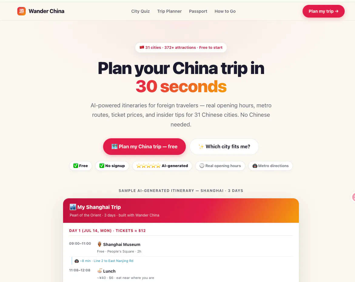
Planning a day trip in China is hard. Every travel blog gives you a list of attractions but never the optimal order. Wander China solves this: select your attractions, and the app uses a nearest-neighbor TSP heuristic to calculate the shortest walking route with time estimates. → 17 cities covered → Tourist mode + Expat mode (local spots most visitors miss) → No signup, no tracking, runs entirely in the browser → Free forever
Hey PH! Maker here 👋
I built this after a frustrating trip to Chengdu – I spent
30 minutes Googling "best order to visit attractions" and
got nothing useful. Every list was just... a list.
So I built a solver. You pick the attractions, it runs a
TSP (Traveling Salesman Problem) heuristic and spits out
the optimal walking route with time estimates.
A few things I'm proud of:
– Expat mode: local spots that tourists usually miss
– Changsha has the deepest coverage (my personal test city)
– Zero backend, zero tracking, works offline after first load
Currently 17 cities. Would love to know which city you'd
want added next – I'll prioritize based on the comments here.
Happy to answer any questions about the TSP implementation
or how I structured the city data.
Built this because planning a day trip in China is genuinely hard —
English info is scattered, distances are unclear, and most guides
just list attractions without a logical route.
Wander China does three things:
1. You pick a city + attractions you want to see
2. It builds an optimized 1-day route (TSP routing)
3. Adds practical tips: best time to visit, transport between spots
17 cities covered. Works on mobile. No login needed.
Built it as a single HTML file — runs offline after first load.
Would love to hear: which city would you want added next?
Love the no-signup browser-only approach, feels like exactly the kind of frictionless tool you'd actually reach for while wandering around a new city.
About Wander China — AI-powered day trip plan on Product Hunt
“Pick a city, select attractions, ”
Wander China — AI-powered day trip plan was submitted on Product Hunt and earned 3 upvotes and 3 comments, placing #137 on the daily leaderboard. Planning a day trip in China is hard. Every travel blog gives you a list of attractions but never the optimal order. Wander China solves this: select your attractions, and the app uses a nearest-neighbor TSP heuristic to calculate the shortest walking route with time estimates. → 17 cities covered → Tourist mode + Expat mode (local spots most visitors miss) → No signup, no tracking, runs entirely in the browser → Free forever
Wander China — AI-powered day trip plan was featured in Travel (42.6k followers), Vacation (7.4k followers) and Plants (613 followers) on Product Hunt. Together, these topics include over 15.2k products, making this a competitive space to launch in.
Who hunted Wander China — AI-powered day trip plan?
Wander China — AI-powered day trip plan was hunted by Văn Tuấn Lê. A “hunter” on Product Hunt is the community member who submits a product to the platform — uploading the images, the link, and tagging the makers behind it. Hunters typically write the first comment explaining why a product is worth attention, and their followers are notified the moment they post. Around 79% of featured launches on Product Hunt are self-hunted by their makers, but a well-known hunter still acts as a signal of quality to the rest of the community. See the full all-time top hunters leaderboard to discover who is shaping the Product Hunt ecosystem.
Want to see how Wander China — AI-powered day trip plan stacked up against nearby launches in real time? Check out the live launch dashboard for upvote speed charts, proximity comparisons, and more analytics.

 Văn Tuấn Lê